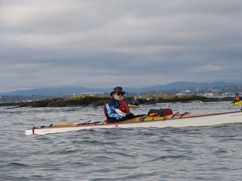
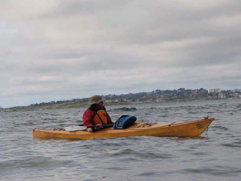
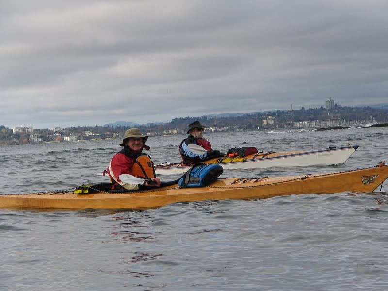
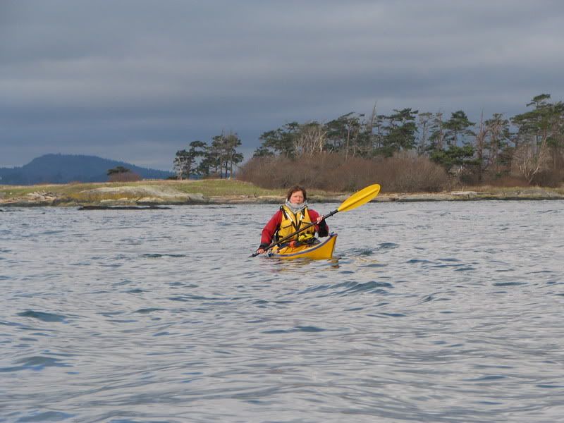
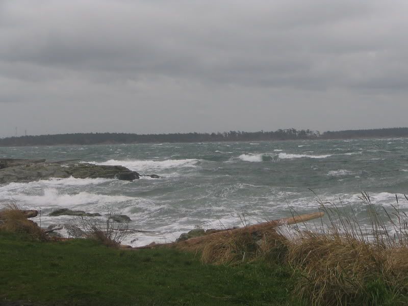
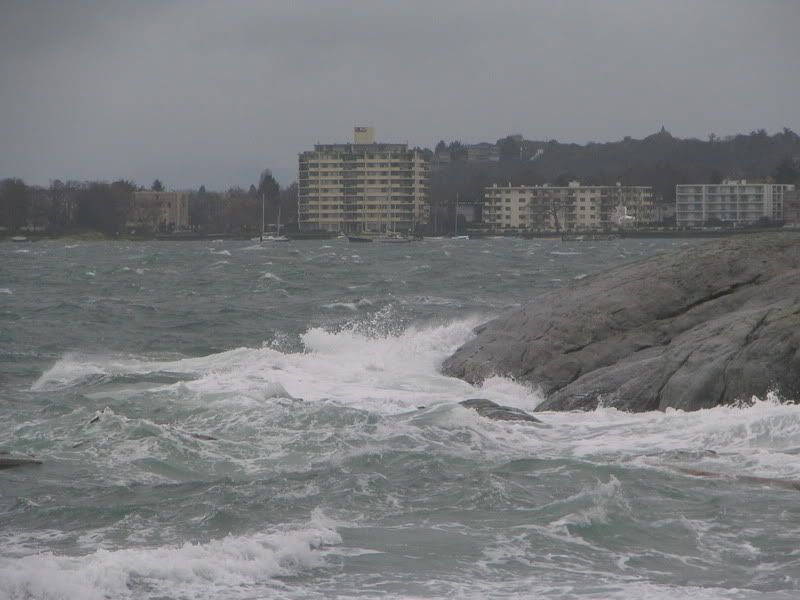
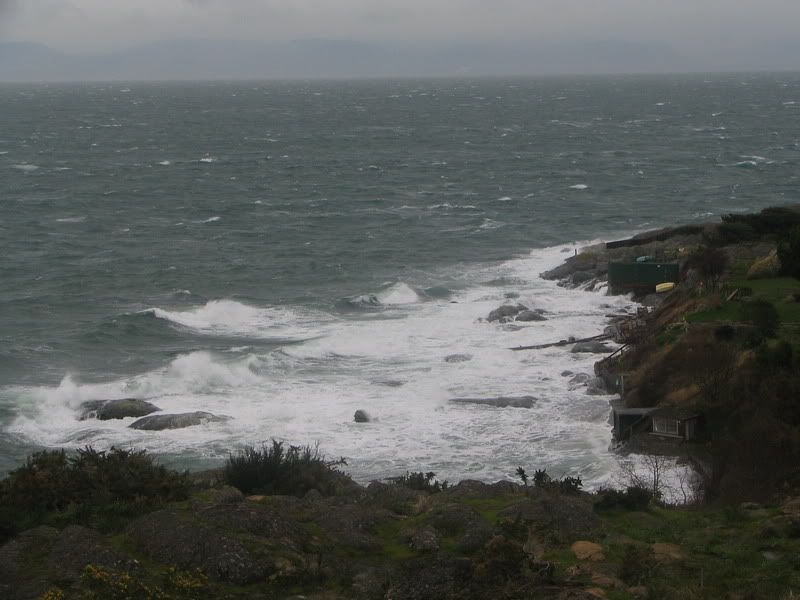
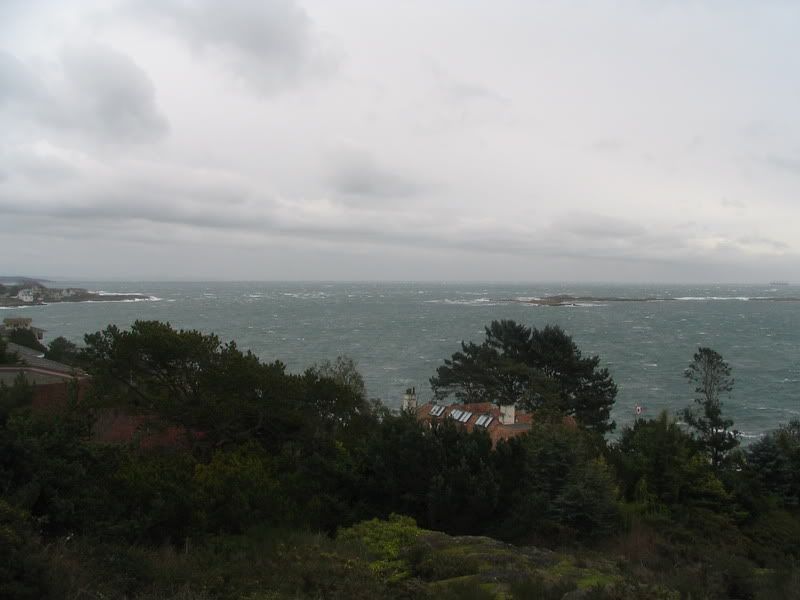
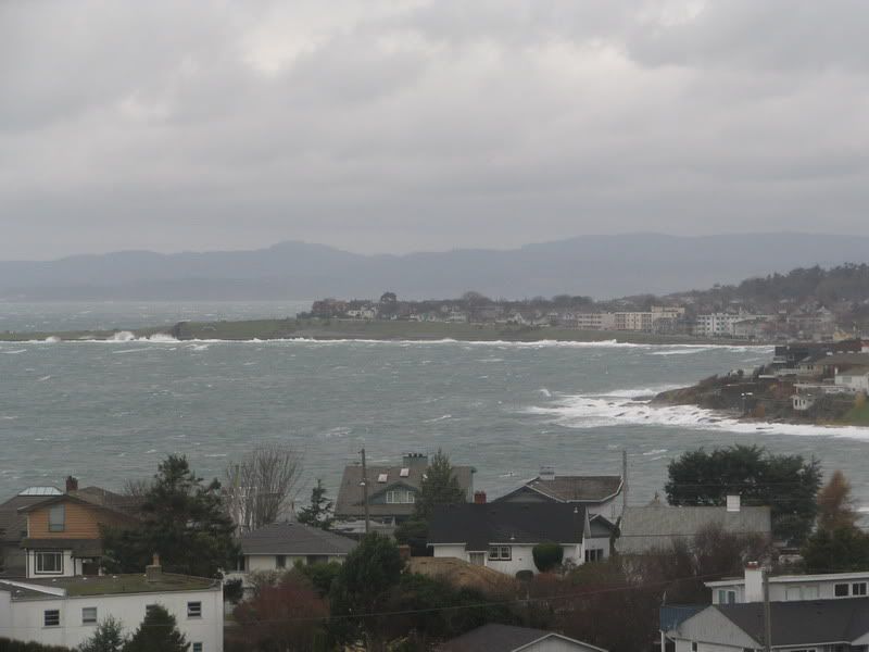
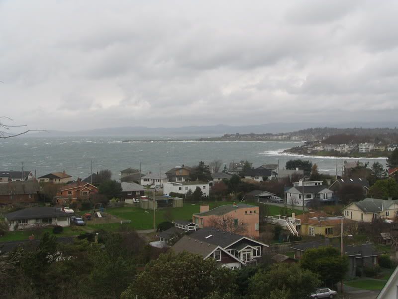
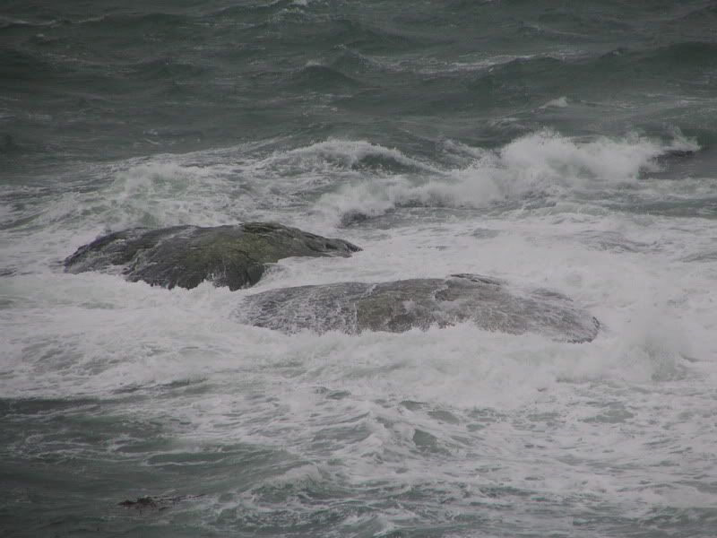
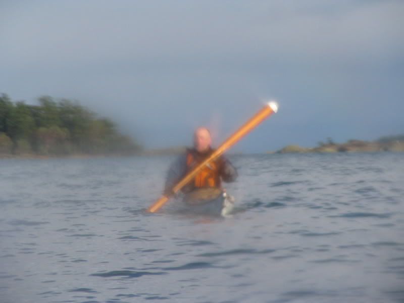
Photos from today’s trip in Oak Bay 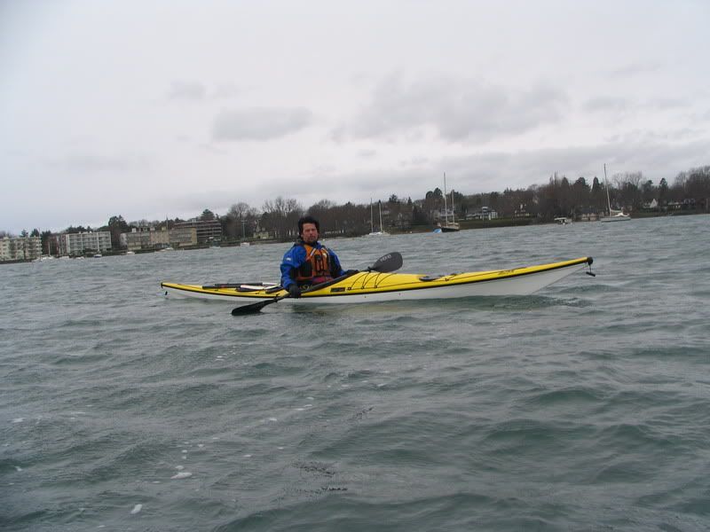
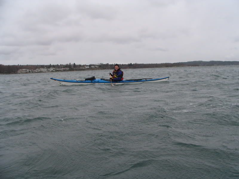

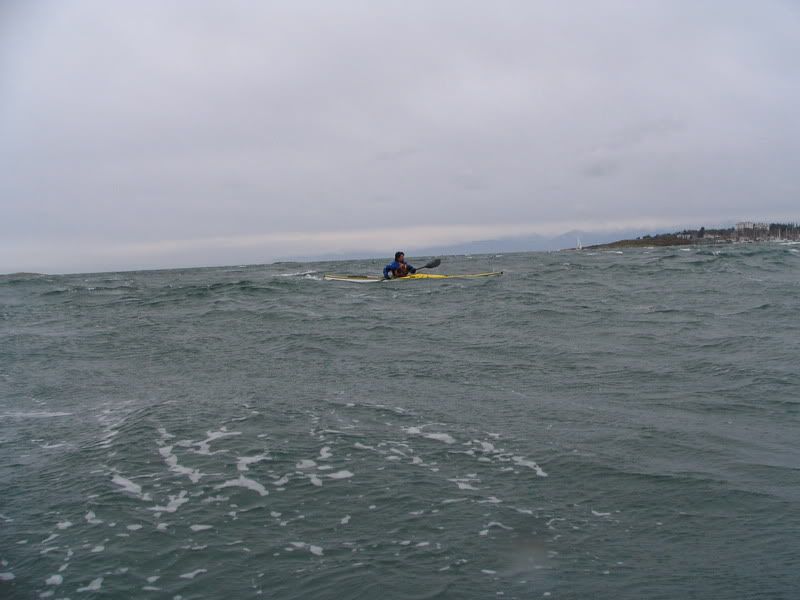
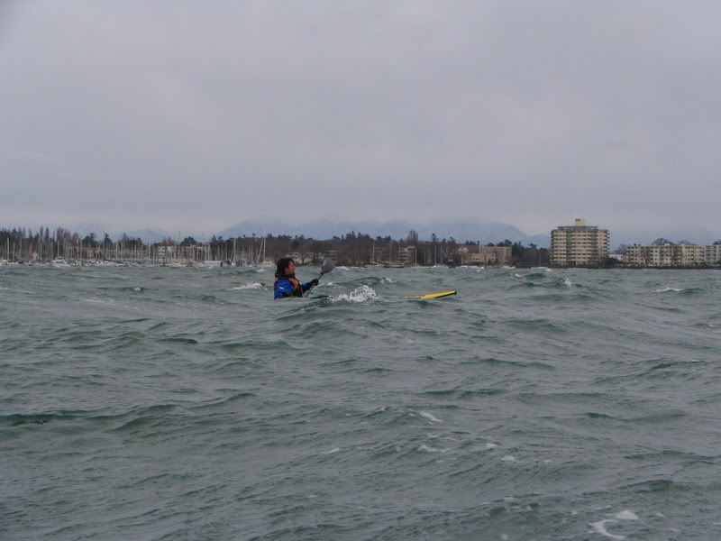
Taking a trip though Cattle Point and by Trial Island viewpoint after the paddle!


Photos from today’s trip in Oak Bay
Taking a trip though Cattle Point and by Trial Island viewpoint after the paddle!
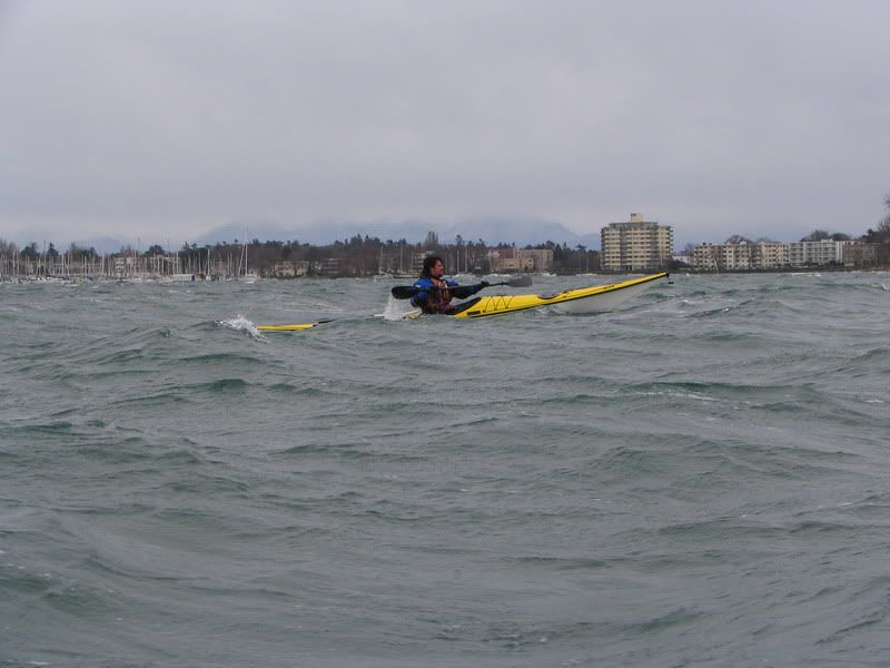
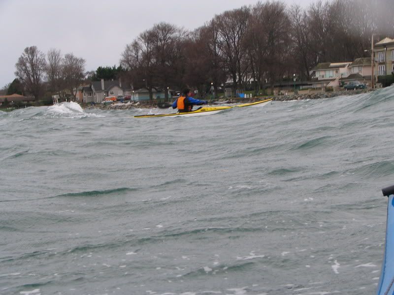
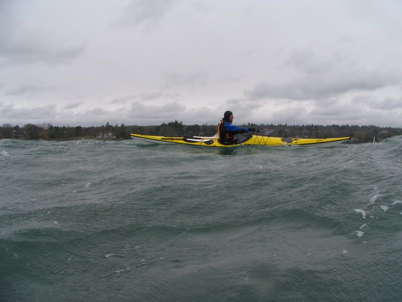
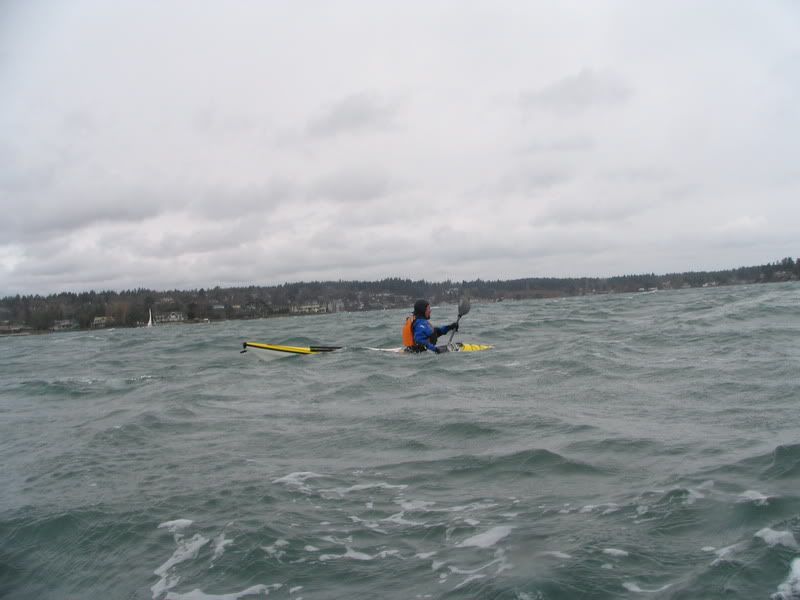
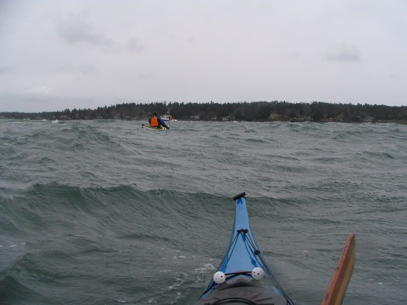
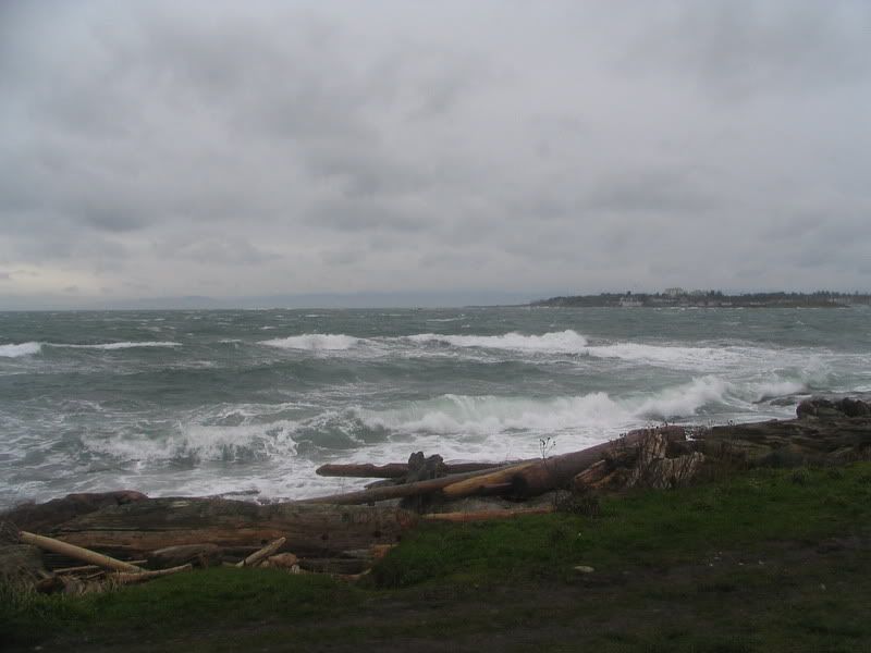
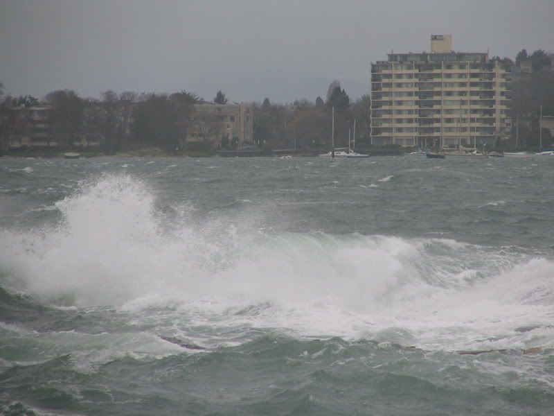
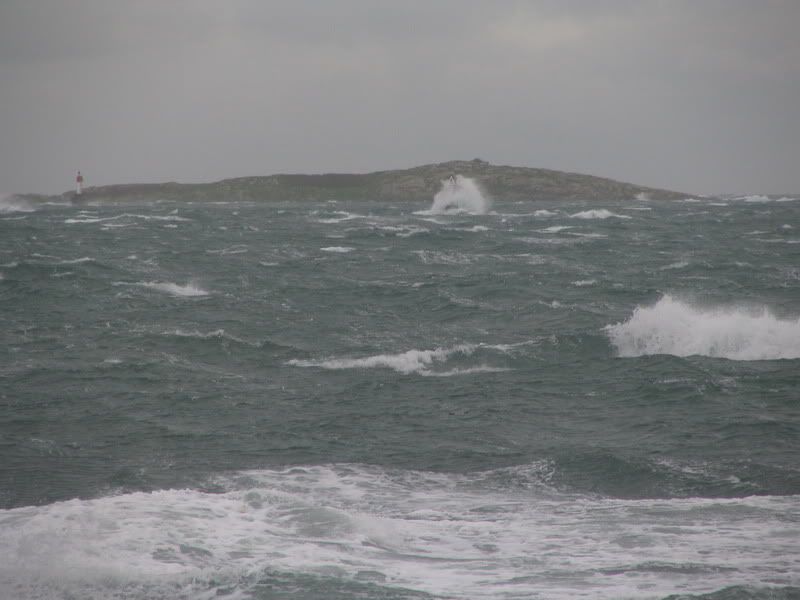
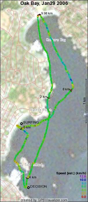
Craig and I went out for a paddle, leaving Cadboro Bay with the intent of going all the way around to Gonzalez Bay or even James Bay… The weather was forecast to get stormy by noon and we decided in Oak Bay that it would be smart to turn around. The winds increased as predicted, we had a blast surfing off Willows beach and riding some good waves around Cattle Point. We made it back just in time as the beach at Cadboro Bay got nasty shortly after we landed… We went for a drive to Cattle Point and the lookout over Trial Island to check out the weather and waves. We met Andreas there who said that he had heard of a couple of kayakers being rescued by the coast guard – not us fortunately. I measured 30 knot winds from the viewpoint with my anemometer… (5.5 nm, 10 km, YTD 102 km!)
 Today’s track. Photos to come as a separate post.
Kelp reef winds today 29 Jan from NOAA site
11:00 am SE 24G31
10:00 am SE 23
9:00 am SE 16
Discovery Light data from BigWaveDave’s site
29-Jan-2006 17:00:00 SE 39 39
29-Jan-2006 16:00:00 SE 40 40
29-Jan-2006 15:00:00 SE 36 36
29-Jan-2006 14:00:00 SE 39 39
29-Jan-2006 13:00:00 SE 35 35
29-Jan-2006 12:00:00 SE 34 34
29-Jan-2006 10:00:00 SE 21 21
29-Jan-2006 09:00:00 ESE 15 15
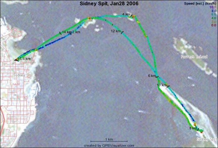
Mike, Gary, Susan, Mac and I set out from Roberts Bay (tide was too high at Amherst!) and paddled to Sidney spit park via Ker and Dock Islands. It was a bit rough between Dock and Sidney Spit. When we got to Sidney Spit there was a brisk wind and some rain - not the most pleasant picnic. The paddle back was easier. I used my Werner Kalliste paddle instead of the greenland paddle. It took almost until we were back before I felt comfortable with the ‘euro” paddle. (8.5 nm, 15.6 Km) (92 km YTD)
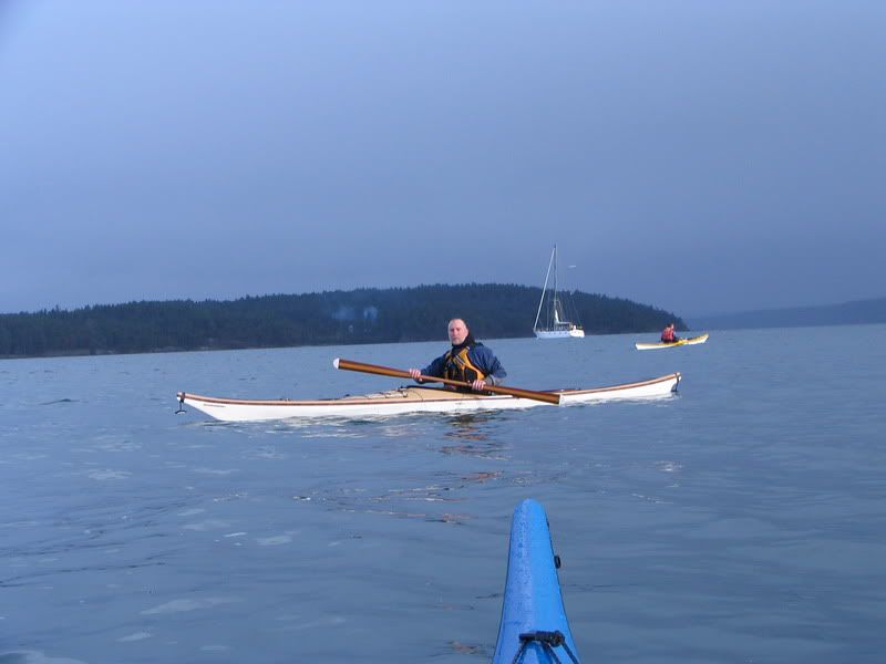
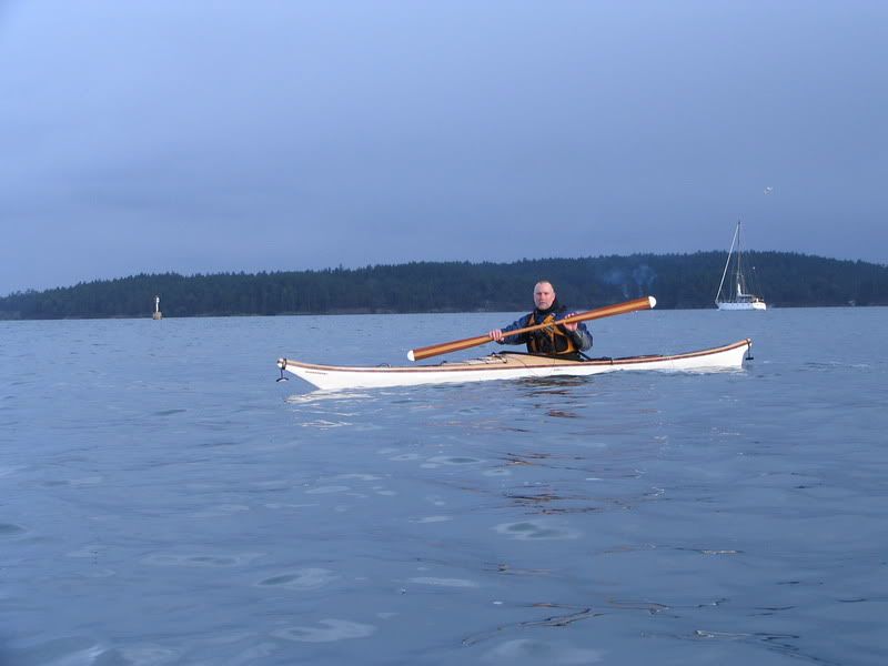
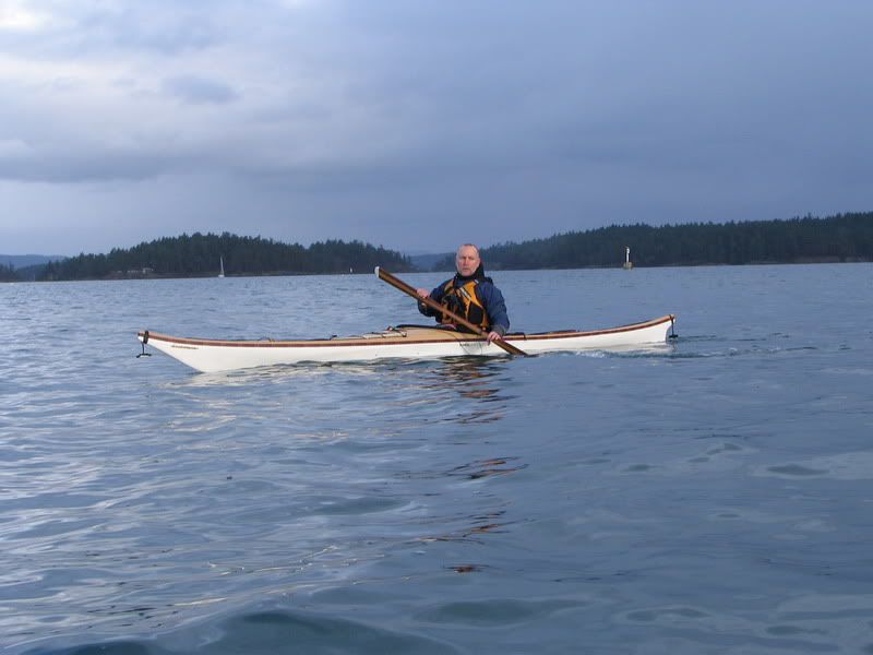
Shots of Mac:
drop of water on the lens port for the last shot...


Today’s winds:
28 Jan 3:00 pm SSW 20/2:00 pm WSW 21G29 / 1:00 pm SW 16 /12:00 pm SSW 14 /11:00 am SSW 13 /10:00 am SW 15
Last night’s winds!
28 Jan 4:00 am SSE 48G60 / 3:00 am SSE 48G58 / 2:00 am SE 49G62 /1:00 am SSE 49G59 /12:00 am SE 45G52 /11:00 pm SSE 44G52
Data from: http://www.wrh.noaa.gov/mesonet/getobext.php?wfo=mso&sid=CWZO&num=168
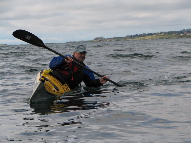
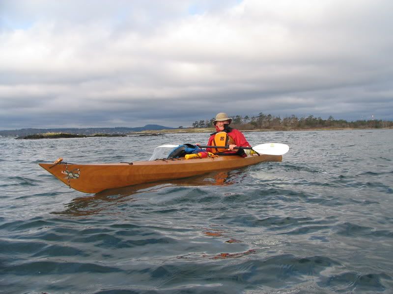
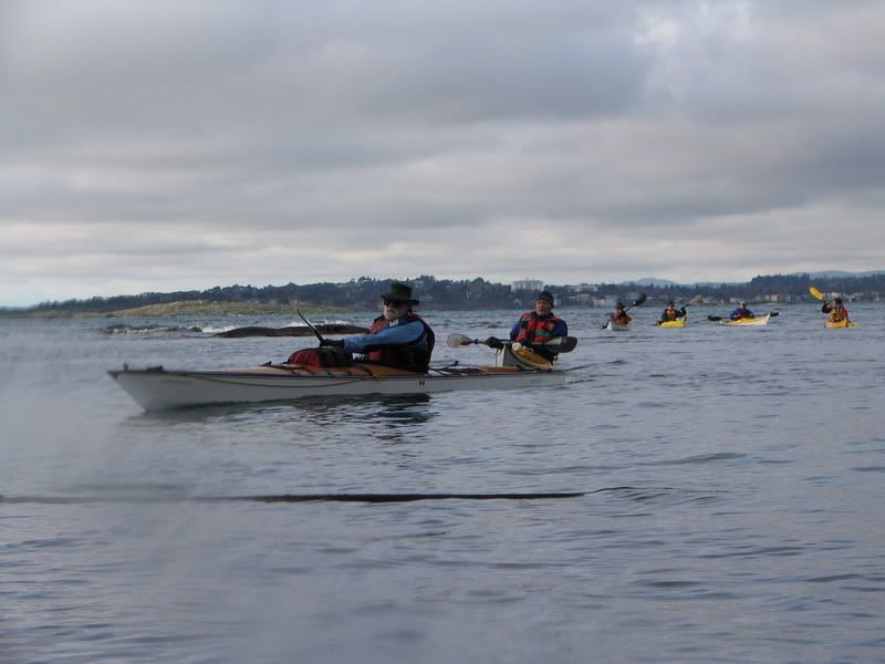
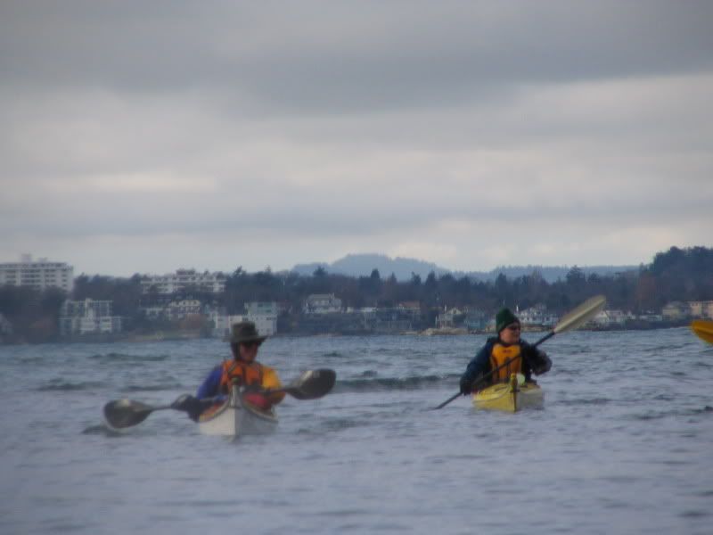
Today I led a Victoria Canoe and Kayak Club Intermediate Members’ Paddle to Discovery Island. On the paddle were Duncan, Peter, Roscoe, John, Val, Marie, Doug, Dennis, Gary, Tony and me. We met at Gyro Park in Cadboro Bay at 9:30 and were on the water by just after 10 AM. There was a steady 5-10 knot wind from the S/SE and the currents for Baynes channel were supposed ebbing strongly and steadily all day. Mike and Dorothea decided to go and play in the waves off 10 Mile point (Dorothea was trying a new boat!). Gary managed to forget an important piece of equipment and caught up with us later. Duncan and Peter paddle out to Strongtide with us and then decided to stay close to shore as Duncan did not want to risk getting his eye wet - Doctor’s orders!
As predicted, there was a strong current in Baynes Channel and some good standing waves off 10 mile point. We chose to head over to the channel between Chatham and Discovery via Jemmy Jones Islet, avoiding most of the wave action. We played around in the channel between Chatham and Discovery while waiting for Gary to catch up and then headed for lunch on a beach on the north side of Discovery Island. After lunch we went counter clockwise around Chatham via the inlet (where we had to line our boats up the dry channel) where we went to check out the prickly pear cacti. After that we continued on around past Strongtide Island and back over to Jemmy Jones and Cadboro Bay. There was still some good current in Baynes (as evidenced by our track log) but the area was in the lee of the islands and not too choppy.
Coffee at Olive Olio’s finished off a nice day.
(8.3 Nm., 15.3 Km) YTD: 76 km